¶ Fleet locations
Open in CRM: /fleet-locations
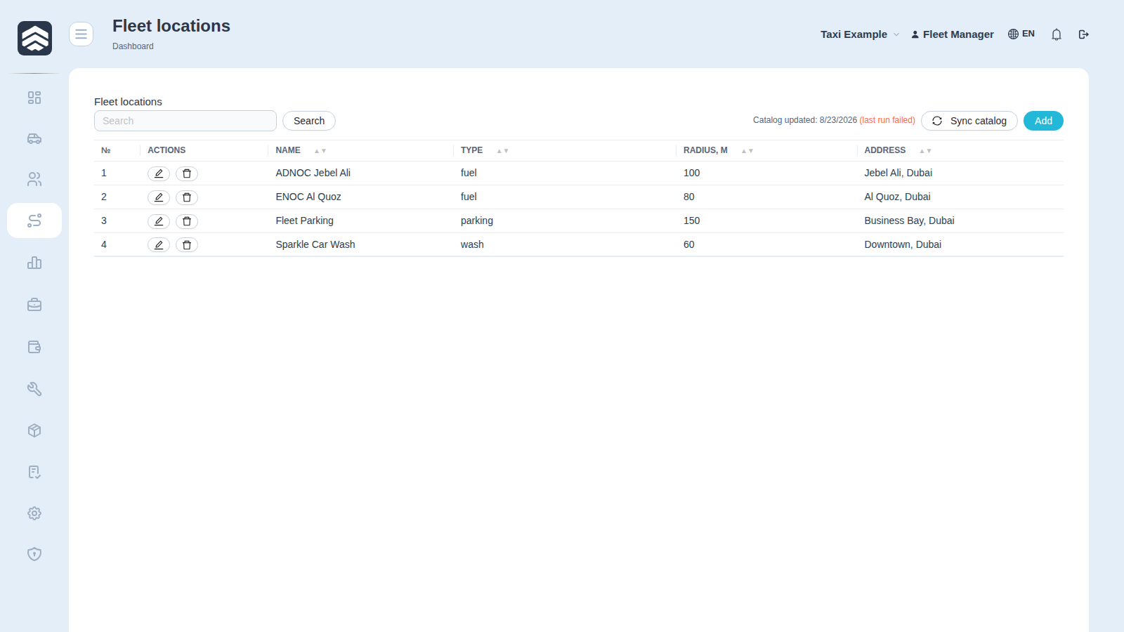
Fleet locations (/fleet-locations) is the map reference book: petrol stations, car washes, parkings, offices — the points the fleet map recognises when a car stops.
¶ Table
| Column | Description |
|---|---|
| Actions | Edit and delete |
| Name | Location name |
| Type | Category from Location types |
| Radius, m | How far around the point still counts as there |
| Address | Address |
¶ Radius is the field that decides everything
A stop is matched to a location by distance. Too small a radius and a car refuelling at the far pump is nowhere; too large and a car parked across the street is at the petrol station. When stop reports look wrong, the radius is the first thing to check.
¶ Synchronisation
Sync now pulls public points (petrol stations and the like) from the open map data instead of typing them by hand. Runs are logged, so a sync that brought nothing can be told apart from one that never ran.
Rights: FLEET_LOCATION_MANAGE to edit, FLEET_POI_SYNC to run synchronisation.